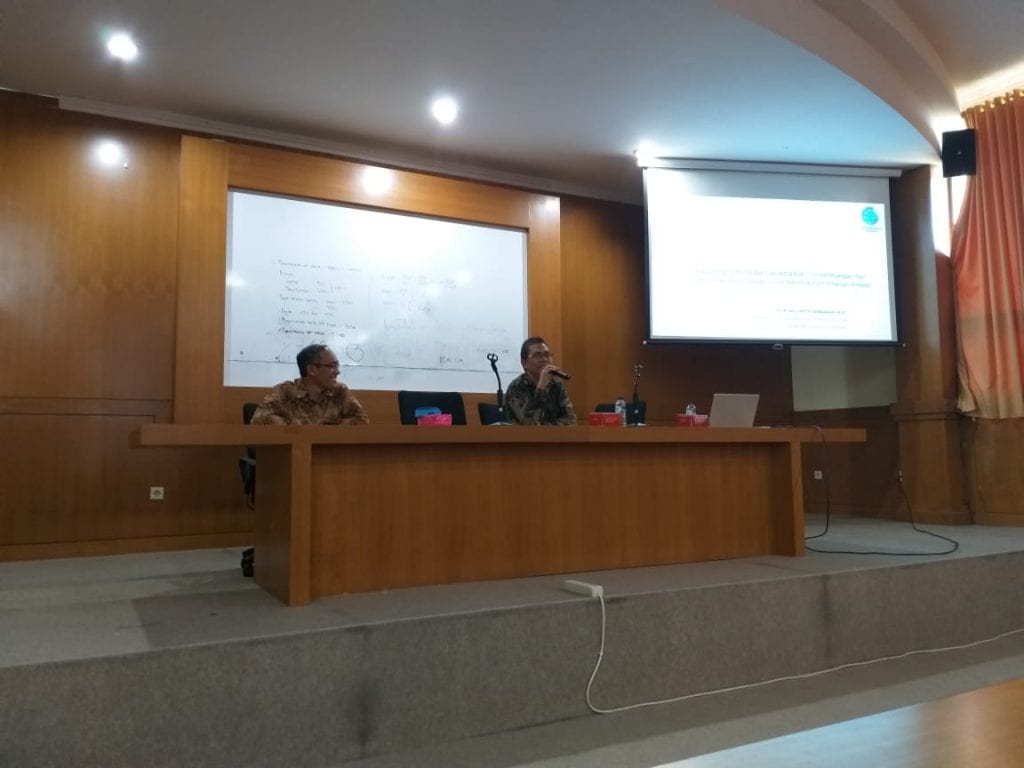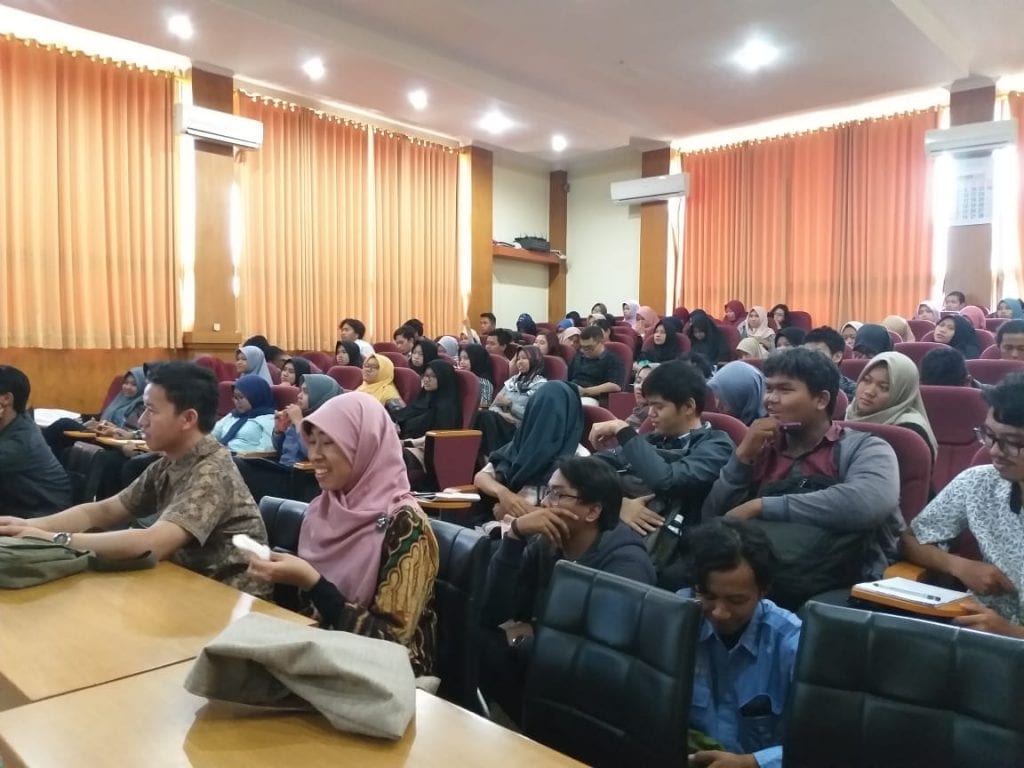
Dr. Ir. Mulyanto Darmawan, M.Sc is the Head of Center of the Spatial and Atlas Mapping under the Deputy of Thematic Geospatial Information. On July 24, 2019 at the Multimedia Room of MMA Building, 3rd floor, UGM Faculty of Agriculture, Dr. Darmawan delivered a public lecture on the topic of Geospatial Information for Agriculture. The lecture was attended by around 50 students from the Department of Land and from other Dept. In his lecture, Dr. Darmawan conveyed National issues related to state preparation in following up Era 4.0 in relation to the field of Agriculture.


This is related to the prediction that in 2050, the world’s population is expected to increase to 9 billion so that the food needs that must be available will also increase. Whereas our agriculture system still largely applies the conventional farming system. Therefore we need an innovation in technology that can help in terms of surveying and analyzing quickly and precisely. The use of remote sensing data and aerial photography is an option to be able to get geospatial information quickly and precisely. The Public Lecture lasted for approximately 3 hours and ended with a question and answer session from the students.
